
Trace Hudson Streets by Address
An address can lead to several Hudson records, but each answers a different question. The county property search is the starting point for a parcel identifier and the current assessment context. The map then helps distinguish similar street names and confirms the parcel’s position. A recorded instrument can document a transfer or encumbrance. Historical directories can place a name or business at an address in a stated year. None of those steps creates a current household roster.
Work from the most specific address form available. Keep the house number, street suffix, direction, city, and postal information exactly as written before trying variations. The County’s property guide and Hudson’s street index help when a suffix or direction differs between sources. If more than one result remains, stop and compare the map and parcel number rather than choosing a record because a name seems familiar.
- Enter the address in the Summit Fiscal Office property search to locate the county parcel record.
- Open the Summit County Parcel Viewer with the address or parcel number and compare the street position.
- For a transfer question, use the Recorder’s official document-search entry point or contact the Recording Division for a known instrument.
- For a dated Hudson address listing, consult the archive’s 1910 or 1950 address directories in the reading room.
- Keep the source, record date, and address form beside each finding before drawing any conclusion.
Hudson Street Directory Fields
The Fiscal Office’s published instructions make the Hudson street directory route unusually concrete. Public Access separates an address into an address number and a street field, rather than requiring a single free-form line. It also provides parcel, route, owner, and ZIP fields. Start narrow. The guide says not to use quotation marks, and it recommends limited wildcard use only when a street or surname is incomplete. The site’s published update schedule is nightly, so a very recent transfer or correction may not appear at once.
| Public Access field | Entry type | Use for a Hudson address |
|---|---|---|
| Parcel | Parcel identifier | Reconnect a verified county parcel to the property record. |
| Address No | House number | Begin an address search without merging it into the street field. |
| Street | Street text | Try the official spelling, then a restrained wildcard if needed. |
| Owner | Name text | Find a parcel candidate, then confirm it against the date and record. |
| ZIP and Tax Year | Filter controls | Narrow the county property query without treating a ZIP as a city boundary. |
The live property interface was under maintenance during the research review. Its official guide supports these search fields and options, but it does not justify claims about unverified result-card labels or downloads. A failed query can reflect spelling, timing, or a different address format. It is not proof that no public county record exists.
Map Hudson Street Parcels
The Parcel Viewer accepts a parcel number, owner name, or street address. That makes it useful after the property search has produced a candidate parcel, especially where a street name repeats or a historic description needs modern geographic context. Compare the street frontage, parcel outline, and nearby map labels. The viewer is an informational map, not a legal survey, a title opinion, or a definitive statement about a boundary.
The Summit Recording Division describes its public responsibilities on its official functions page.
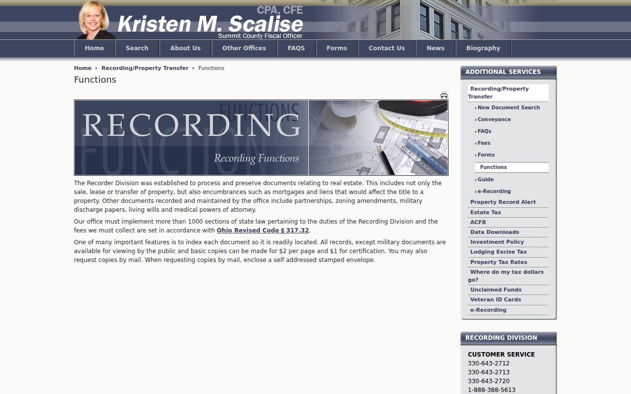
Use the office description to keep the map, parcel record, and recorded-document trail separate. Each source has a different role in a Hudson street search.
Hudson also maintains a city mapping gateway and a dated city map with a street index. The city map is valuable for local orientation, but its 2013 date means it should not be used for current boundary, delivery, or title claims.
Hudson Street Directory Sources
A sound street-by-street result keeps property, map, document, municipal, and archival evidence in separate lanes. The table below identifies what each source can support and where it stops. The Recorder’s online index did not expose its search fields during research, so the documented alternatives matter: the official index entry point, the Akron counter, phone contact, and a mail request for a known record.
| Address source | Hudson or Summit keeper | Useful evidence | Access route |
|---|---|---|---|
| Public Access property record | Summit Fiscal Office | Parcel, address-query context, owner field, ZIP and tax-year filters | Online guide and property portal |
| Parcel Viewer | Summit County | Parcel location, street position, and mapped outline | Online viewer |
| Recorded instruments | Fiscal Office Recording Division | Recorded transfers and encumbrances | Index, counter, phone, or mail copy request |
| City archive | City of Hudson | Dated Council, planning, historic-review, map, and cemetery documents | Online keyword, archive, period, and date filters |
| Address directories | Hudson Library & Historical Society | Dated street or property listings | Reading-room research |
For a known public municipal item, Hudson’s public-records channel can route a focused request to the proper department. It should identify an existing document and date range, not ask the City to create an address list from unrelated files.
Hudson Street Deed Trail
A deed is a recorded instrument about a transfer. A mortgage or lien is a different kind of encumbrance, and an assessment display is a separate administrative record. Start a Hudson street deed trail with the parcel and address, then use the Recording Division’s document-search entry point or its counter staff to locate the appropriate instrument. Confirm the recording details and image before describing a transfer.
The Recording Division preserves real-estate sale, lease, transfer, and encumbrance instruments. Its records are public except military documents. Basic copies are listed at $2 per page, with $1 more per certified copy, and mail requests require a self-addressed stamped envelope. The office is at 175 South Main Street, fourth floor of the Ohio Building in Akron, and lists 330-643-2712, 330-643-2713, and 330-643-2720 for contact.
Note: A recorded document title alone does not establish current ownership, every interest in a parcel, or present occupancy.
Hudson Street Directory History
Older Hudson addresses often need a second vocabulary. The Hudson Historical Society explains that the community lies in Western Reserve Range 10, Town 4, and was originally divided into 100 Great Lots. A historic deed may use a Great Lot, block, sublot, or directional description instead of a modern street number. Preserve that wording verbatim and look for the map or deed that links it to a later address.
- Parcel
- A county land unit used for property and map administration. Parcel configurations can change through splits, combinations, and map updates.
- Situs address
- The location address used to identify property, which can differ from a mailing address or an older legal description.
- Plat
- A recorded map or plan that can show a subdivision or lot arrangement; it is not interchangeable with every county map display.
- Criss-cross directory
- An address-ordered directory section that can place a published listing on a street in a particular edition.
The historical route also changes by date. Hudson research before 1807 can require Trumbull County context; work from 1807 through 1840 can require Portage County context; Summit County is the local county path from March 3, 1840 forward. The Society’s house-history guide links the historic maps, tax material, directories, and local records that help test a particular connection.
Hudson Street Directory Years
The Hudson archive specifically identifies 1910 and 1950 directories that organize properties by address. Other historical directories may associate an individual with an address, while street sections in the regional directory tradition list residents and businesses by address. Use the edition year in the statement itself: “listed at this address in the 1910 directory” is supportable; a present-tense claim is not.
Hudson Library’s genealogy resources add local newspaper indexing, historical directories, and on-site research databases. The wider historical collection is covered in the Hudson city directory collections reference, which explains how to read and compare those dated entries. Telephone-directory holdings reported by the regional library begin in 1914, but a published telephone listing remains a dated directory item rather than proof of a legal address.
Hudson Street Archive Search
The Hudson City Archive supplies a narrower municipal path for a street question. Its controls include keyword, archive, time period, and date range. Collections cover City Council, planning, architectural and historic review, zoning appeals, cemeteries, maps, and records commission material. An address or street term may locate agendas, minutes, staff reports, legislation, or a map that explains a public decision.
Read the document body with its date, document type, and agency. Archive results are contextual evidence, not a resident list. For municipal permits or review status, Hudson’s applications and permits gateway identifies the Viewpoint/OpenGov route, while the Historic Preservation page identifies the Architectural and Historic Board of Review and Community Development contact for work in the historic district.
Hudson Street Map Evidence
Map language can look more certain than it is. A city map grid is a navigation aid; a Great Lot, block, or sublot is historic land-description language; a ZIP is postal routing; and a parcel is a county tax-and-map unit. Use the label that belongs to the source. Hudson’s archive map collection includes subdivision, zoning, ward, school, water, and electric material that can explain municipal context without proving a person’s connection to a place.
The Historical Society directs researchers to 1855, 1878, and 1891 maps, and the Library of Congress provides a 1916 Sanborn map. Cite the map date and repository whenever an older street form is used. No official source in the research set established a citywide street-renumbering table, so a conflict should be resolved with maps, legal descriptions, directories, and archival help rather than a guessed conversion.
Note: Parcel adjacency and shared street frontage are map relationships, not verified evidence of a household or personal relationship.
Hudson Street Directory Limits
A Hudson street directory is a route through public, dated records, not a complete household list. The public voter lookup requires first name, last name, and county, so it is not an address search tool. Public voter releases also exclude sensitive fields under Ohio law. County maps do not provide a verified nearby-person roster, and the City did not verify a municipal neighborhood roster or an automatic historical address conversion.
Some records have additional restrictions. Ohio’s Safe at Home program provides substitute addresses for eligible participants in designated public-record settings. Motor-vehicle personal information is confidential under state law. Military-discharge documents are excluded from the Recording Division’s public access. A missing or alternate address is a privacy boundary, not a puzzle to solve.
Lawful use. Use Hudson street and property sources for lawful personal research, civic context, and documented historical work. Do not use them to stalk, harass, intimidate, or expose anyone.
Verify Hudson Street Sources
Keep a compact source trail for every Hudson address question: the exact address form searched, parcel number if confirmed, record title, custodian, document or edition date, and direct link or request route. Compare a map result with the property record before seeking a deed. Compare a historical directory with a contemporary map, tax reference, newspaper item, or recorded instrument before extending the timeline.
When a web interface does not answer a narrow question, use the documented fallback. The Recording Division can provide copy guidance by phone or at the counter. Hudson Library & Historical Society can assist with appointments for archival research. The City’s public-records process can route an existing municipal record request. For an archive question, include the street term, document type if known, and a date range. That source-by-source approach keeps a Hudson street search accurate without turning separate records into one unsupported story.